Improving water security for farms and lakes
7 March 2023
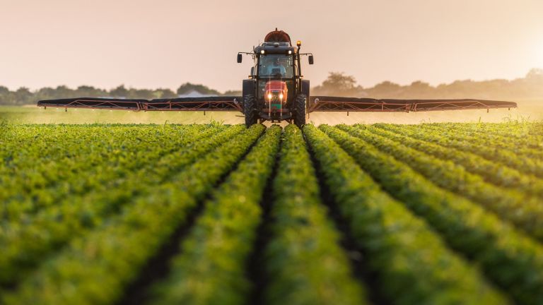
Researchers are working to improve farm water security and farm resilience in Victoria's Lake Corangamite region – an area blessed with internationally significant water systems and highly productive agriculture.
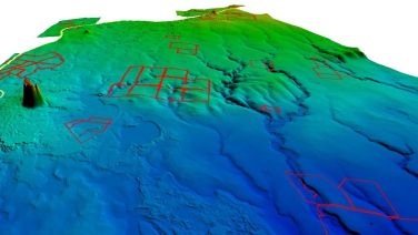
The researchers from Federation University's Centre for eResearch and Digital Innovation (CeRDI) have created a high-resolution terrain model using LiDAR (laser imaging, detection, and ranging data) for the region. From this model, vital information like drainage lines, watershed areas and surface water flow directions can be derived. These are used to estimate the rainfall-runoff into farm dams using modelling.
The region has experienced declining surface water runoff and water table levels in recent decades, mostly from reduced rainfall. With climate modelling showing less rain in the future, managing water resources and balancing competing needs for farm water supplies and the water requirements of the lakes have become a priority.
"What we wanted to do was to make farmers aware of the fact that we're facing a drying climate, and in that drying climate, there's going to be great competition for water between agriculture, urban water and environmental water," CeRDI Principal Research Fellow Peter Dahlhaus said.
The farmers will be able to get information about their water budgets and particularly around dams and how much less water they're going to collect. Those that have had their bores sampled have more information about the water quality, what they can use that for, and also some idea of whether the water source to their bores is more likely to be local or distant. In some cases, the water has come from 50 kilometres away.
"With this information, the farmers can think about how they will adapt to a drying climate."
CeRDI partnered with the Lismore Land Protection Group, Cundare-Duverney Landcare and Leslie Manor Landcare groups on the project. The researchers are evaluating the sources of farm water supply, including quantity, quality, and reliability. Ultimately, the information will help farmers improve the security of supply and inform best farm water management practices.
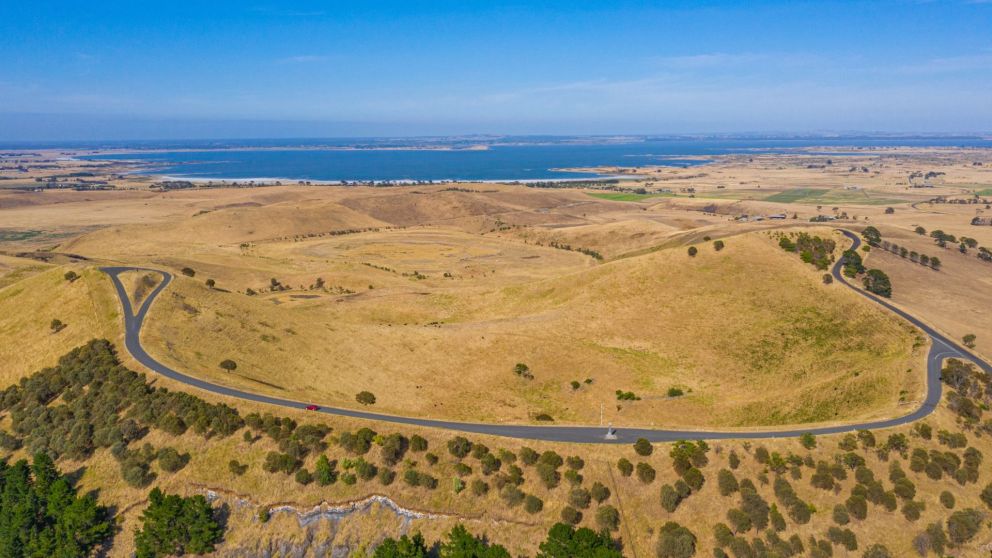
The work is also helping to protect the Western District Lakes Ramsar Site. Ramsar sites are wetlands of international importance listed under the Ramsar Convention on Wetlands. The Western District Lakes Ramsar Site has nine lakes, including Lake Corangamite. Migratory shorebirds and threatened species of flora and fauna can be found there.
Access to data on the groundwater systems for the district was sourced from existing work complemented by groundwater information collected from the landholders' bores. This provides information about how the groundwater flows and water levels contribute to the lakes at different periods of the year, enabling changes in climate to be mapped across years.
Climate information including rain, evaporation and temperatures has been sourced for the project from the latest CSIRO modelling. In particular, the LiDAR model, created by Research Associate Rick Pope, can reveal detail that can't be seen with the eye, Mr Pope says.
Landholders in the area can access the data on the Natural Resource Management portal, giving them extensive digital tools for their land and the region, including seasonal predictions through to 2044.
 Associate Professor Dahlhaus said landholders participating in the project were invited to complete an inventory of water use for their property. The data gave a benchmark of water requirements in the district and was used to generate an approximate water balance.
"We worked on looking at the water budget – that is, how much water does the farm use at the moment and in using the predictive models, how much less water were they going to get in the future?"
"Groundwater is used, but not a great deal of it. A lot of the lakes are groundwater dependent – when there's no surface water input to those lakes, they really depend on the groundwater discharge into the lakes.
"In the past, we've done a lot of work with CSIRO, including during the millennial drought. We did a lot of work to determine how dependent these lakes are on groundwater and have collected data for that from the lakes and government observation bores.
"What this project allowed us to do was to enhance those data that we've collected with a lot of data from private bores."
The water is then analysed for its suitability to use on the land.
"We're trying to arm the landholders with evidence and data. If the farmers have water budgets and have the ability to understand what's going on, they'll be on the front foot," he said.
"But the work that Rick has done has given them something that's really useful to plan on their farm – and not with just water necessarily – but to have the terrain models and the contours gives them an opportunity for their whole farm planning to have more useful data."
Related reading:
Understanding the big role of small farm dams
How data could change life down on the farm
Unlocking the potential of farm data